Plan your visit
At a Glance: Essential Visitor Information
TimingsDaytime (restricted access — verify)
Entry feeNominal entry
Best time to visitSeptember to May
From city centreAbout 10 km
LocationShillong, Meghalaya
Know before you go
About Shillong Peak
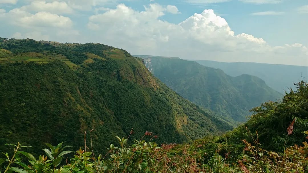
Shillong Peak, at around 1,965 m the highest point in the region, offers panoramic views over the city, the surrounding Khasi Hills and, on clear days, distant plains. Considered sacred locally, it lies within an Air Force area, so access and photography can be restricted — check current rules.
Getting there
How to Reach Shillong Peak
Roughly 10 km from Shillong; taxis available. Access is controlled (Air Force area).
Gallery
Photos of Shillong Peak
Location
Find it on the Map
Interactive map powered by OpenStreetMap.
Plan your day
Nearby Attractions to Combine with Your Visit
More places in Shillong to see on the same trip, nearest first.
 ≈ 1.8 km
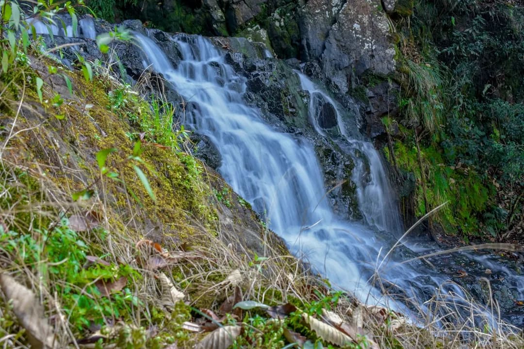
Elephant Falls
Popular three-tiered waterfall set among ferns and rocks near Shillong.
1.8 km awayView details →
 ≈ 3.4 km
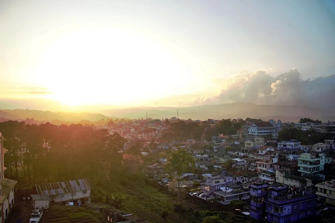
Don Bosco Museum
Large museum of Northeast Indian cultures, with a rooftop skywalk.
3.4 km awayView details →
 ≈ 4.1 km
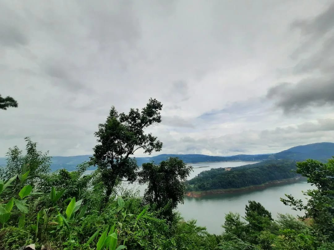
Ward's Lake
Landscaped colonial-era lake and garden in the heart of Shillong.
4.1 km awayView details →
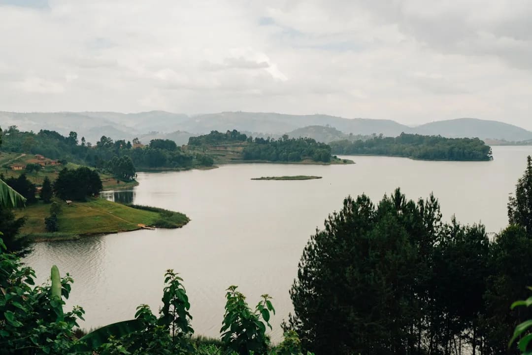 ≈ 11 km
Umiam Lake (Barapani)
Large scenic reservoir north of Shillong, popular for boating and water sports.
11 km awayView details →
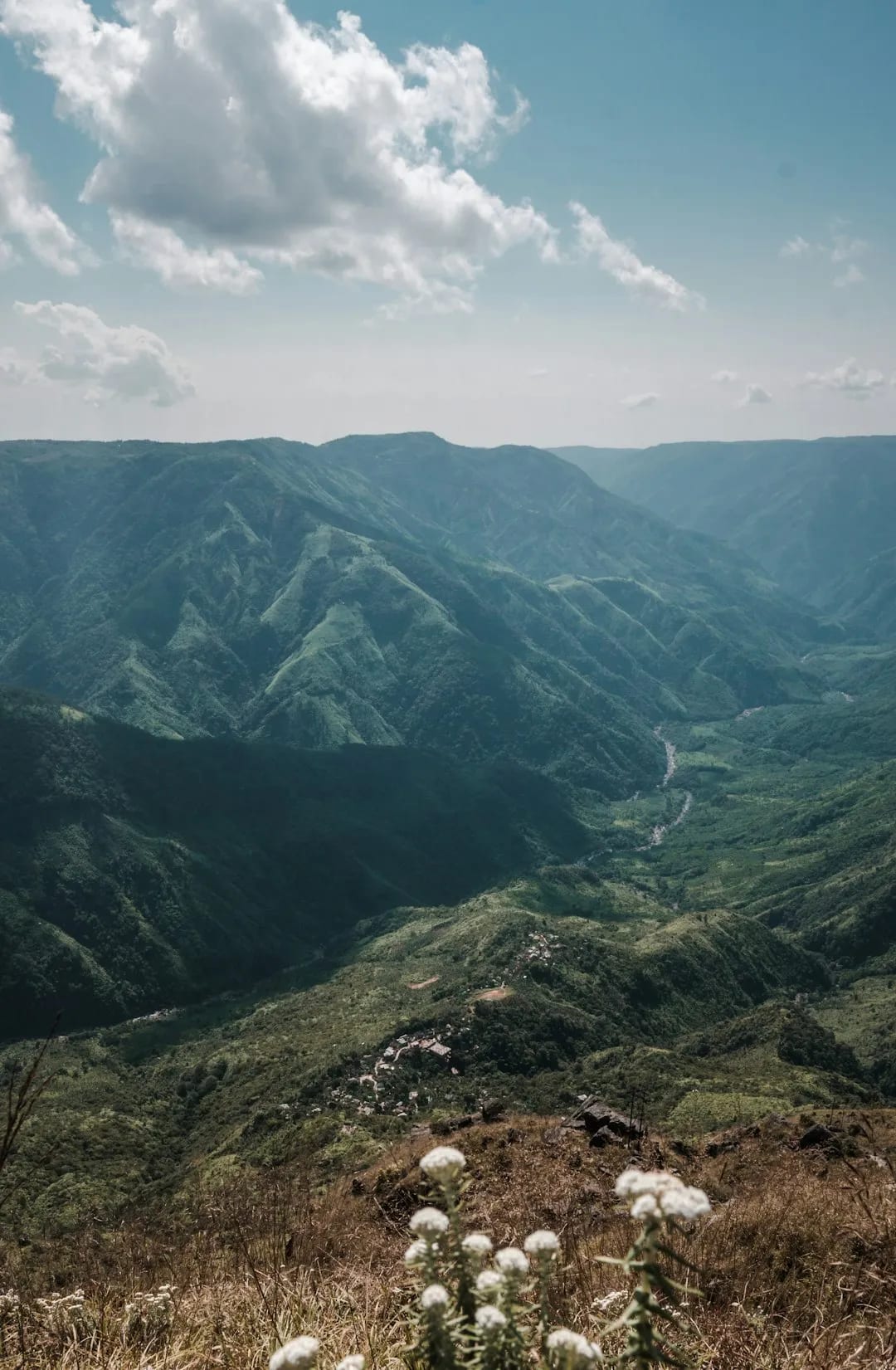 ≈ 15 km
Laitlum Canyons
Dramatic canyon viewpoint with sweeping views over deep green valleys.
15 km awayView details →
≈ Straight-line distance from Shillong Peak. The road route is usually longer.
See all places to visit in Shillong →