Plan your visit
At a Glance: Essential Visitor Information
TimingsDaytime
Entry feeFree/nominal
Best time to visitSeptember to March
From city centreAbout 20–24 km
LocationChikmagalur, Karnataka
Know before you go
About Mullayanagiri Peak
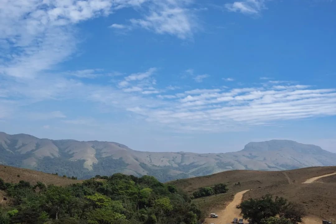
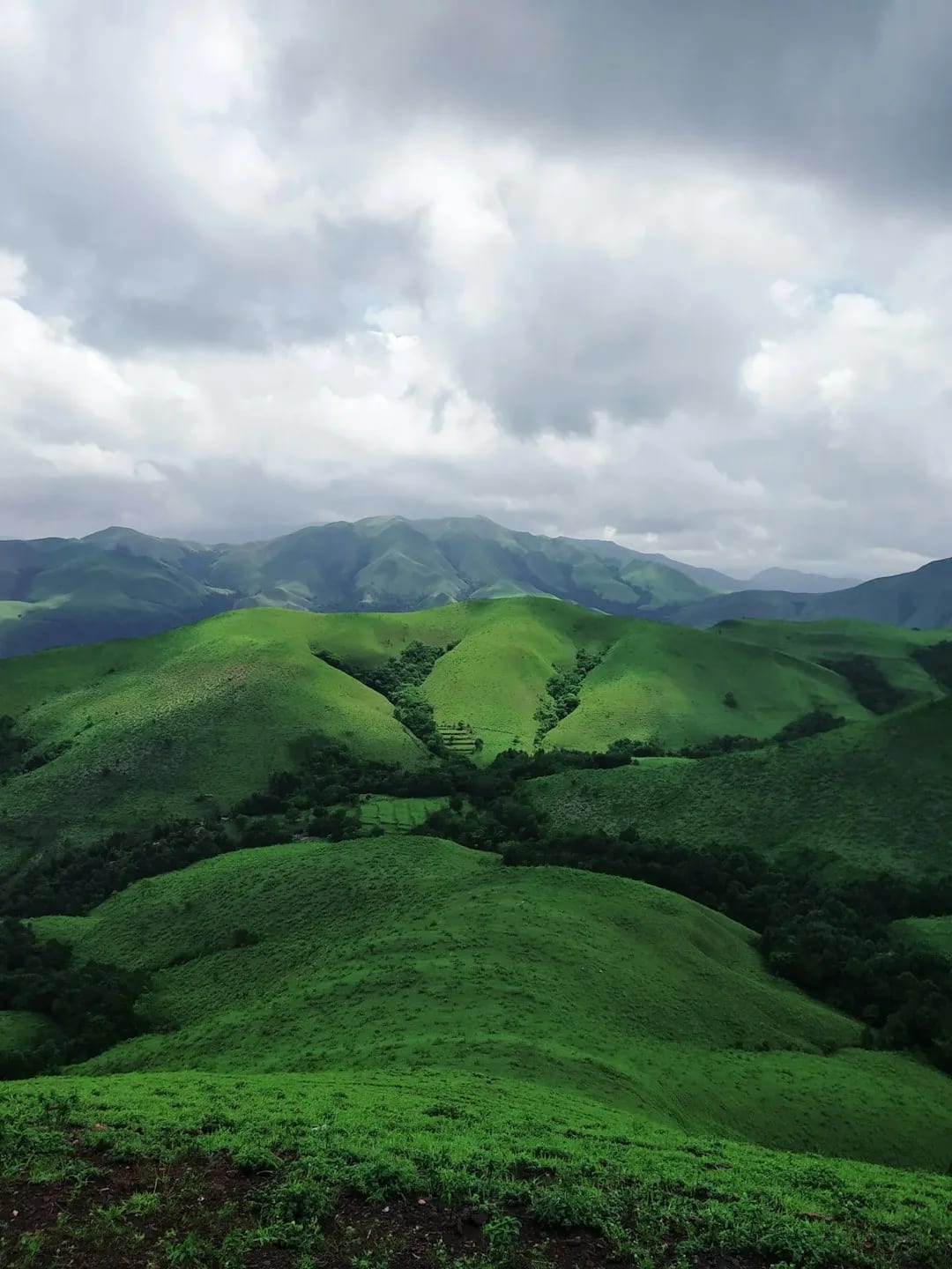
Mullayanagiri, at around 1,926 m the highest peak in Karnataka, rises above Chikmagalur and is one of South India's most accessible high-altitude treks. A road climbs much of the way, and a final walk with steps leads to a small temple at the summit, rewarding visitors with sweeping Western Ghats panoramas.
Getting there
How to Reach Mullayanagiri Peak
Roughly 20–24 km from Chikmagalur by road, then a short climb; taxis available.
Gallery
Photos of Mullayanagiri Peak
Location
Find it on the Map
Interactive map powered by OpenStreetMap.
Plan your day
Nearby Attractions to Combine with Your Visit
More places in Chikmagalur to see on the same trip, nearest first.
 ≈ 4.6 km
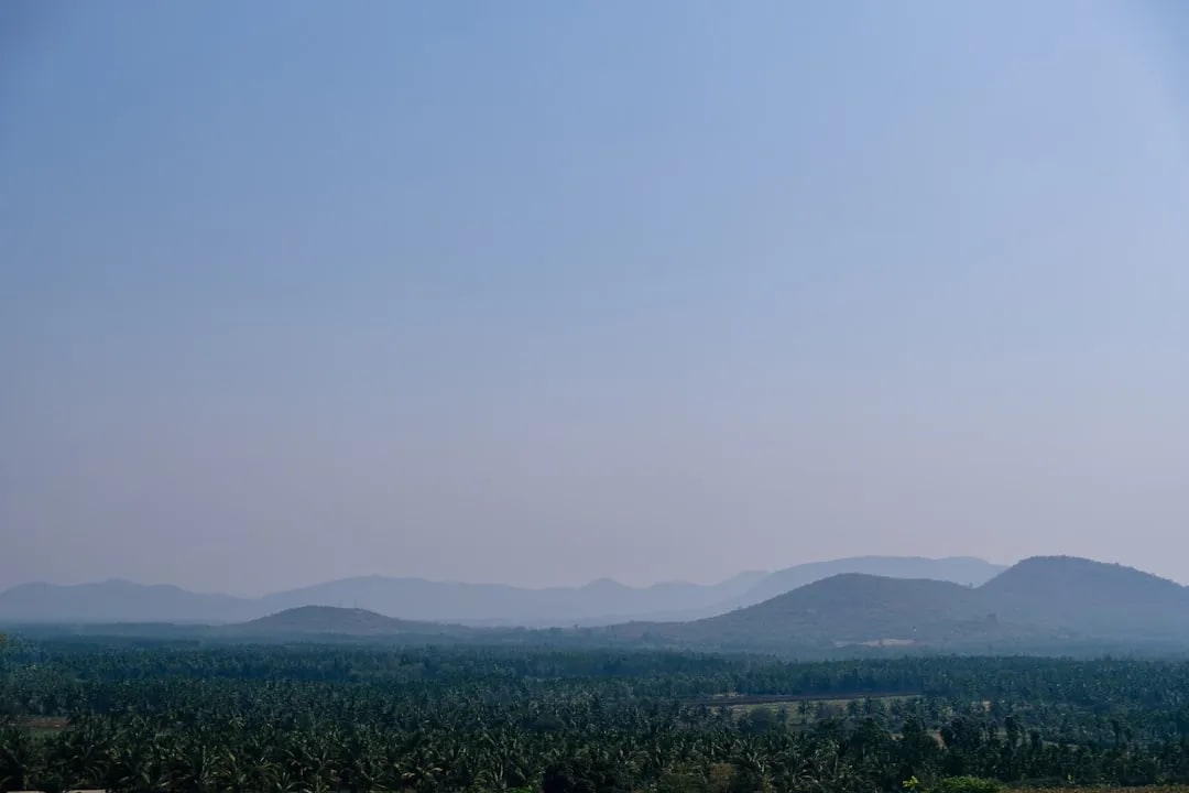
Baba Budangiri
Sacred hills linked to the origin of coffee in India, with a shrine and views.
4.6 km awayView details →
 ≈ 4.6 km
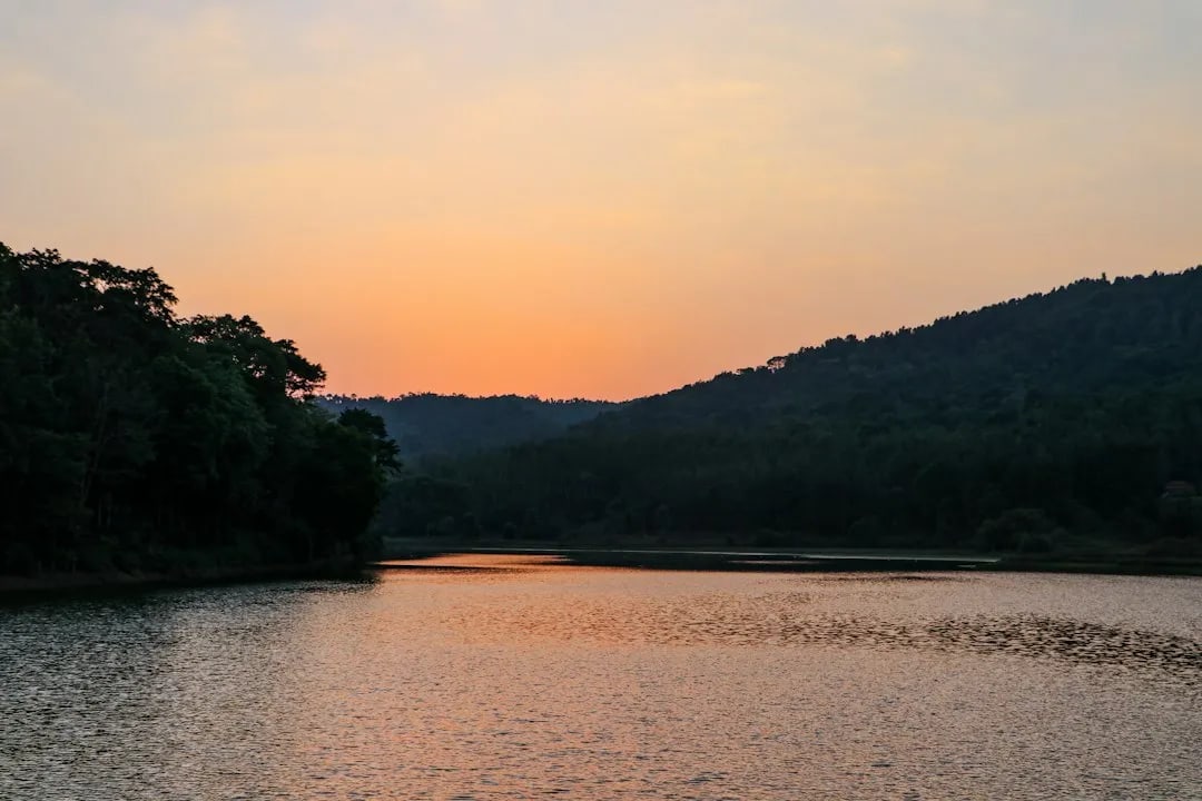
Hirekolale Lake
Scenic lake ringed by hills, popular for sunset views near town.
4.6 km awayView details →
 ≈ 9.5 km
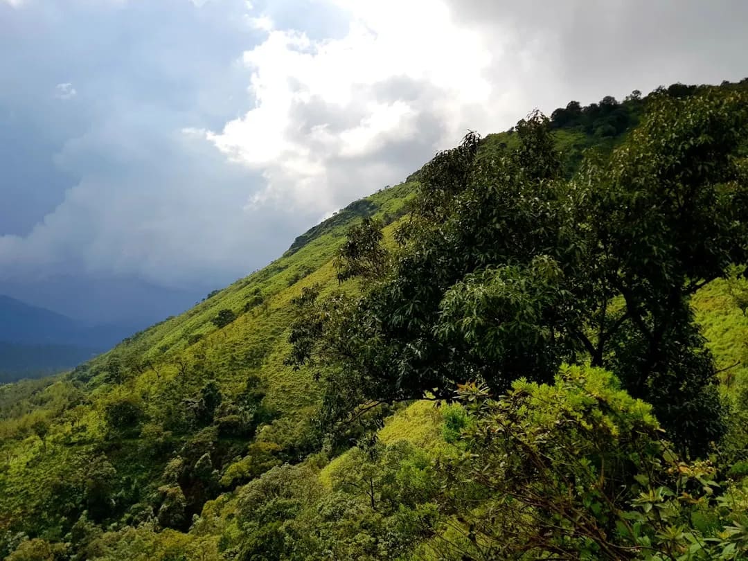
Coffee Estates & Coffee Museum
Rolling coffee plantations with estate stays and the story of Indian coffee.
9.5 km awayView details →
 ≈ 17 km
Kemmanagundi (KR Hills)
Hill retreat with horticultural gardens, waterfalls and the Z Point viewpoint.
17 km awayView details →
 ≈ 18 km
Hebbe Falls
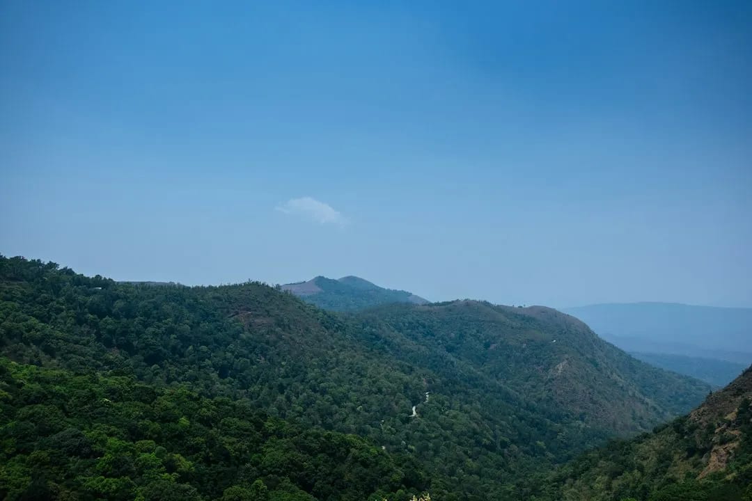
Two-tiered waterfall reached by a jeep ride through coffee estates.
18 km awayView details →
≈ Straight-line distance from Mullayanagiri Peak. The road route is usually longer.
See all places to visit in Chikmagalur →