Plan your visit
At a Glance: Essential Visitor Information
TimingsDaytime
Entry feeNominal entry
Best time to visitSeptember to March
From city centreAbout 55–60 km
LocationChikmagalur, Karnataka
Know before you go
About Kemmanagundi (KR Hills)
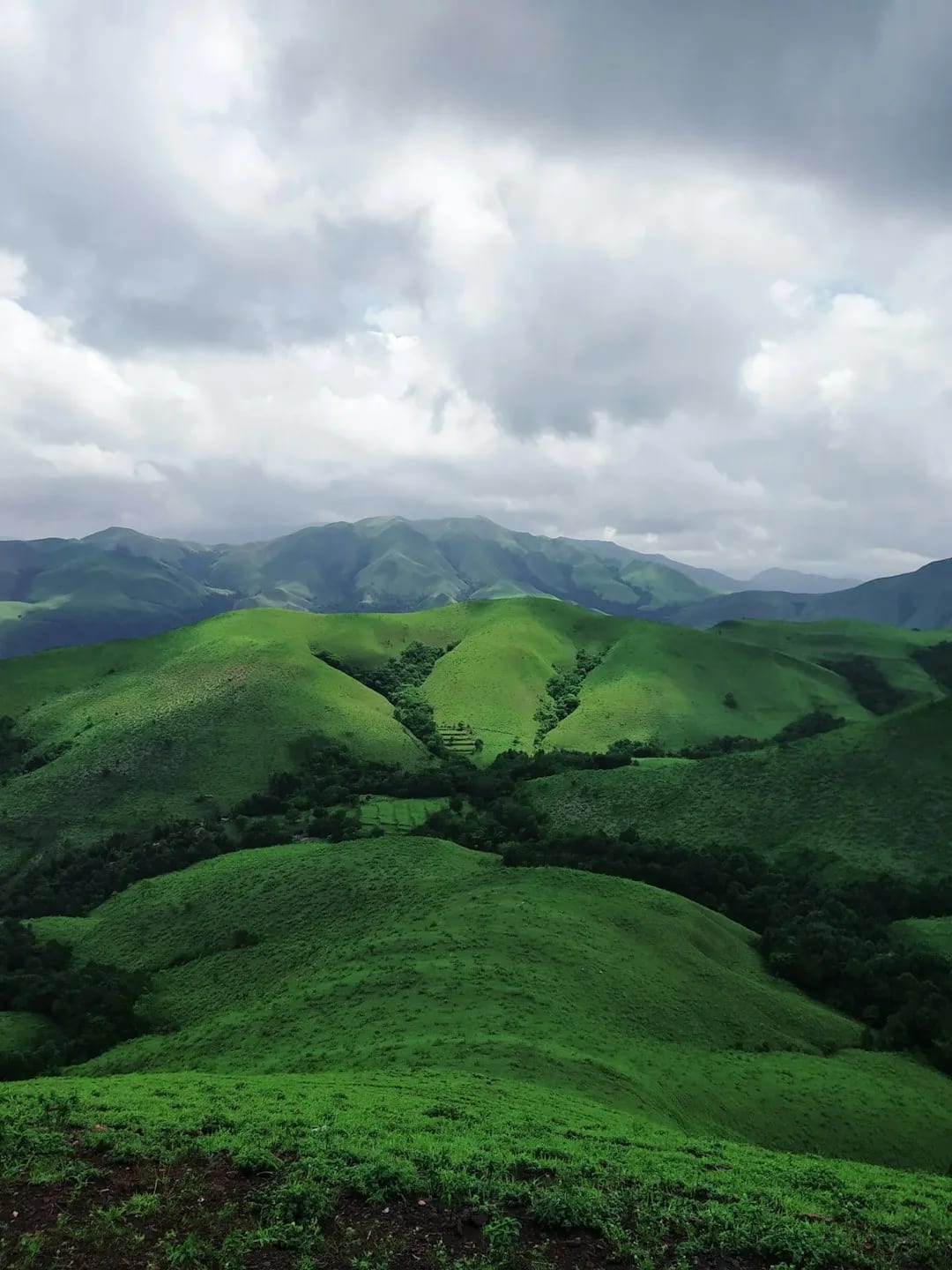
Kemmanagundi (Krishnarajendra Hills), a hill station within the Chikmagalur district at around 1,430 m, is known for its Royal Horticultural Society gardens, the Z Point viewpoint over the Western Ghats, and nearby waterfalls like Hebbe. Once a summer retreat of the Mysore rulers, it makes a scenic day trip or overnight add-on.
Getting there
How to Reach Kemmanagundi (KR Hills)
Roughly 55–60 km from Chikmagalur by road; taxis available.
Gallery
Photos of Kemmanagundi (KR Hills)
Location
Find it on the Map
Interactive map powered by OpenStreetMap.
Plan your day
Nearby Attractions to Combine with Your Visit
More places in Chikmagalur to see on the same trip, nearest first.
 ≈ 1.6 km
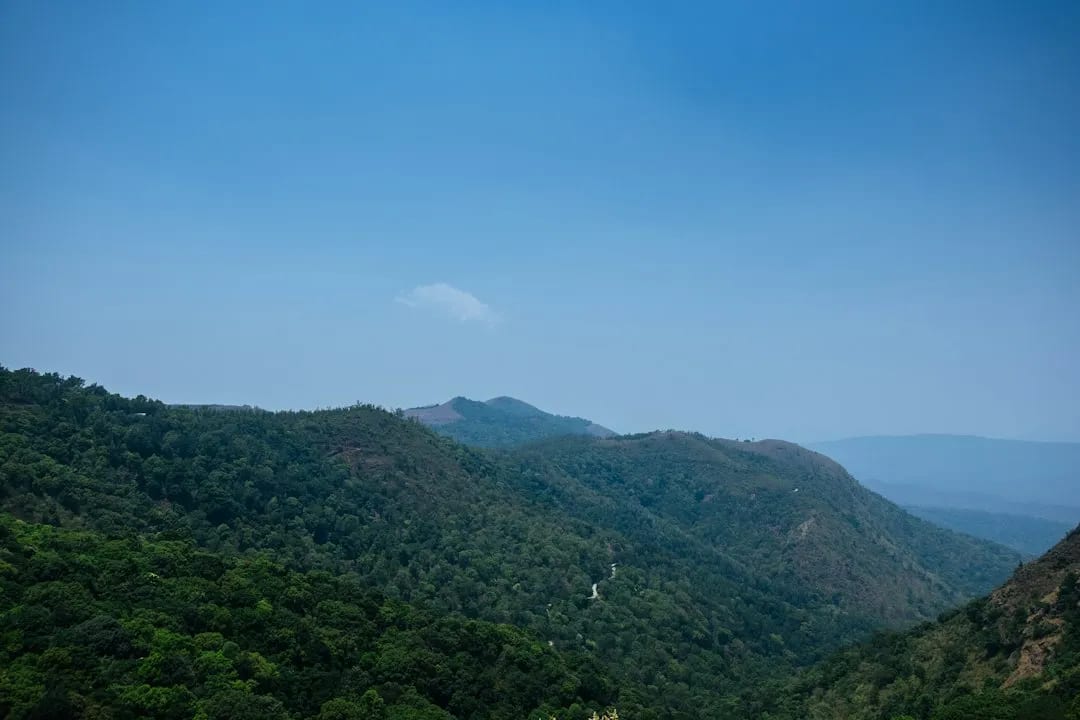
Hebbe Falls
Two-tiered waterfall reached by a jeep ride through coffee estates.
1.6 km awayView details →
 ≈ 13 km
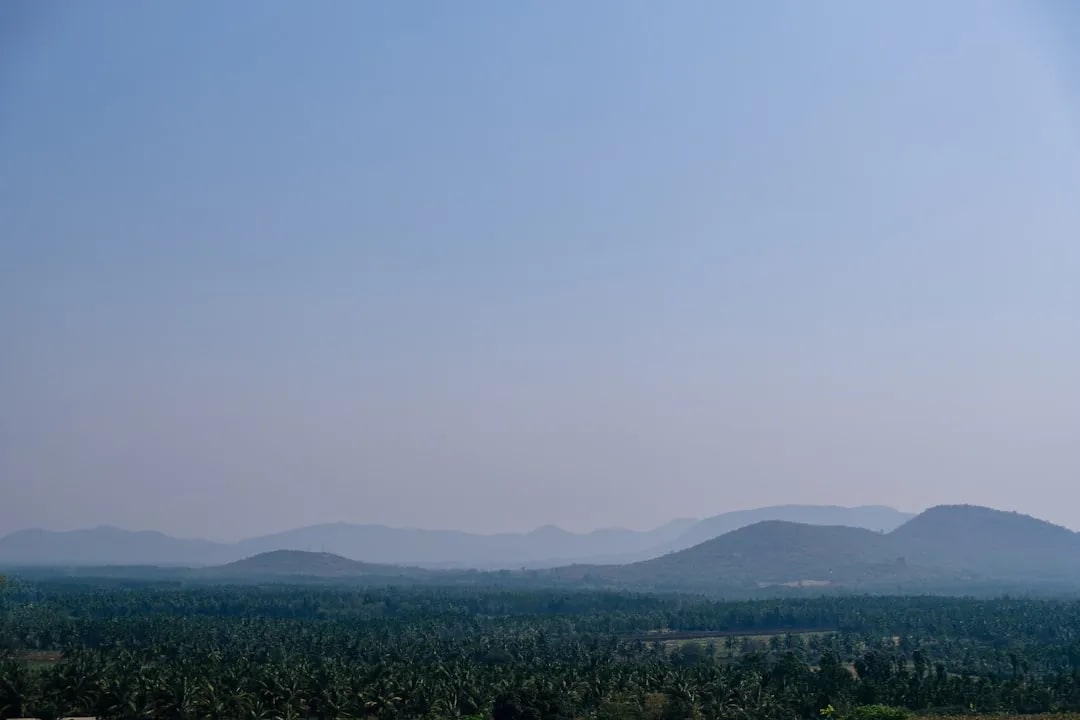
Baba Budangiri
Sacred hills linked to the origin of coffee in India, with a shrine and views.
13 km awayView details →
 ≈ 17 km
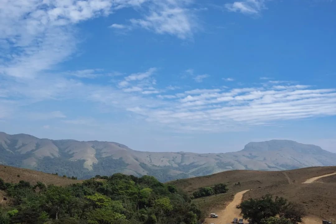
Mullayanagiri Peak
The highest peak in Karnataka, a popular high-altitude trek.
17 km awayView details →
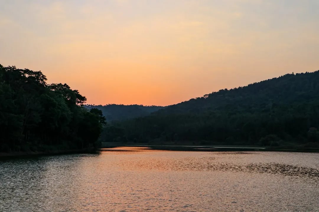 ≈ 21 km
Hirekolale Lake
Scenic lake ringed by hills, popular for sunset views near town.
21 km awayView details →
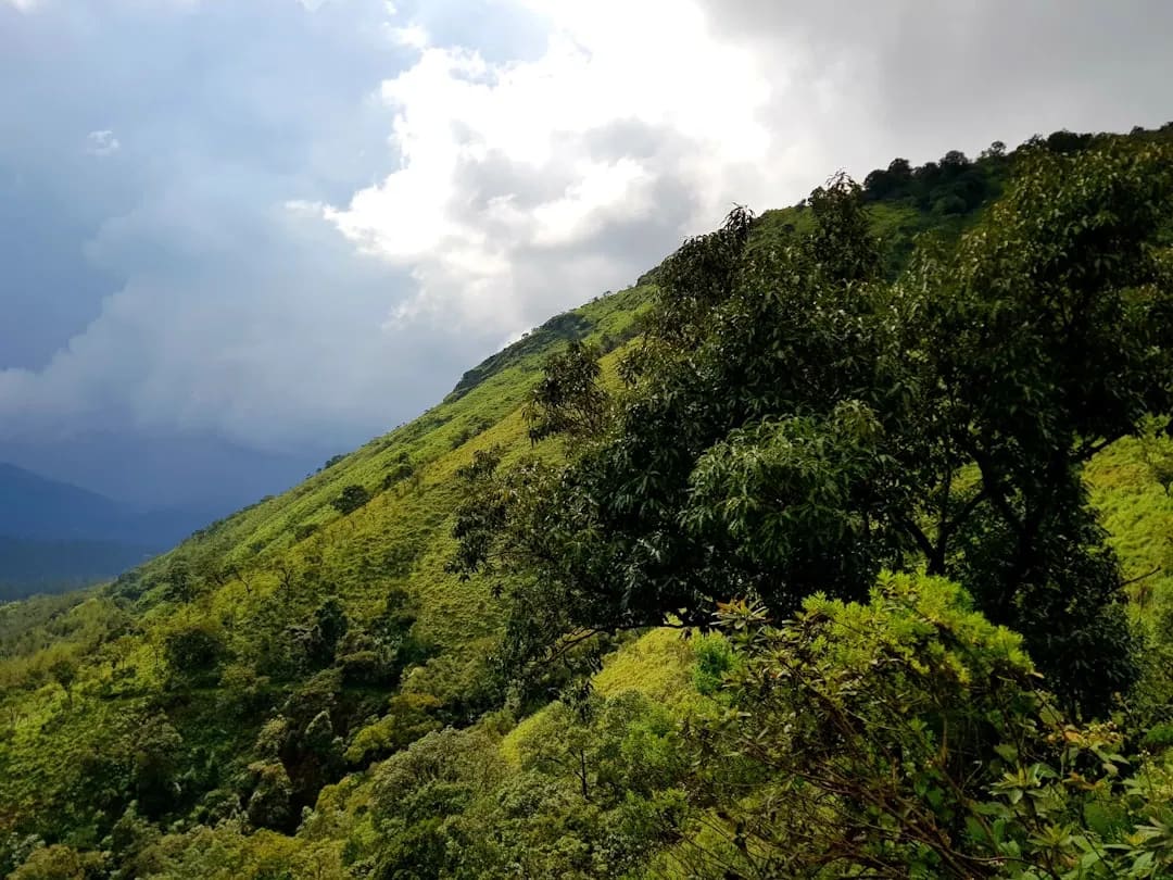 ≈ 24 km
Coffee Estates & Coffee Museum
Rolling coffee plantations with estate stays and the story of Indian coffee.
24 km awayView details →
≈ Straight-line distance from Kemmanagundi (KR Hills). The road route is usually longer.
See all places to visit in Chikmagalur →