Plan your visit
At a Glance: Essential Visitor Information
TimingsDaylight hours (trek)
Entry feeFree
Best time to visitApril to June and September to November
From city centreTrek from Balati/Munsiyari (~8 km)
LocationMunsiyari, Uttarakhand
Know before you go
About Khaliya Top
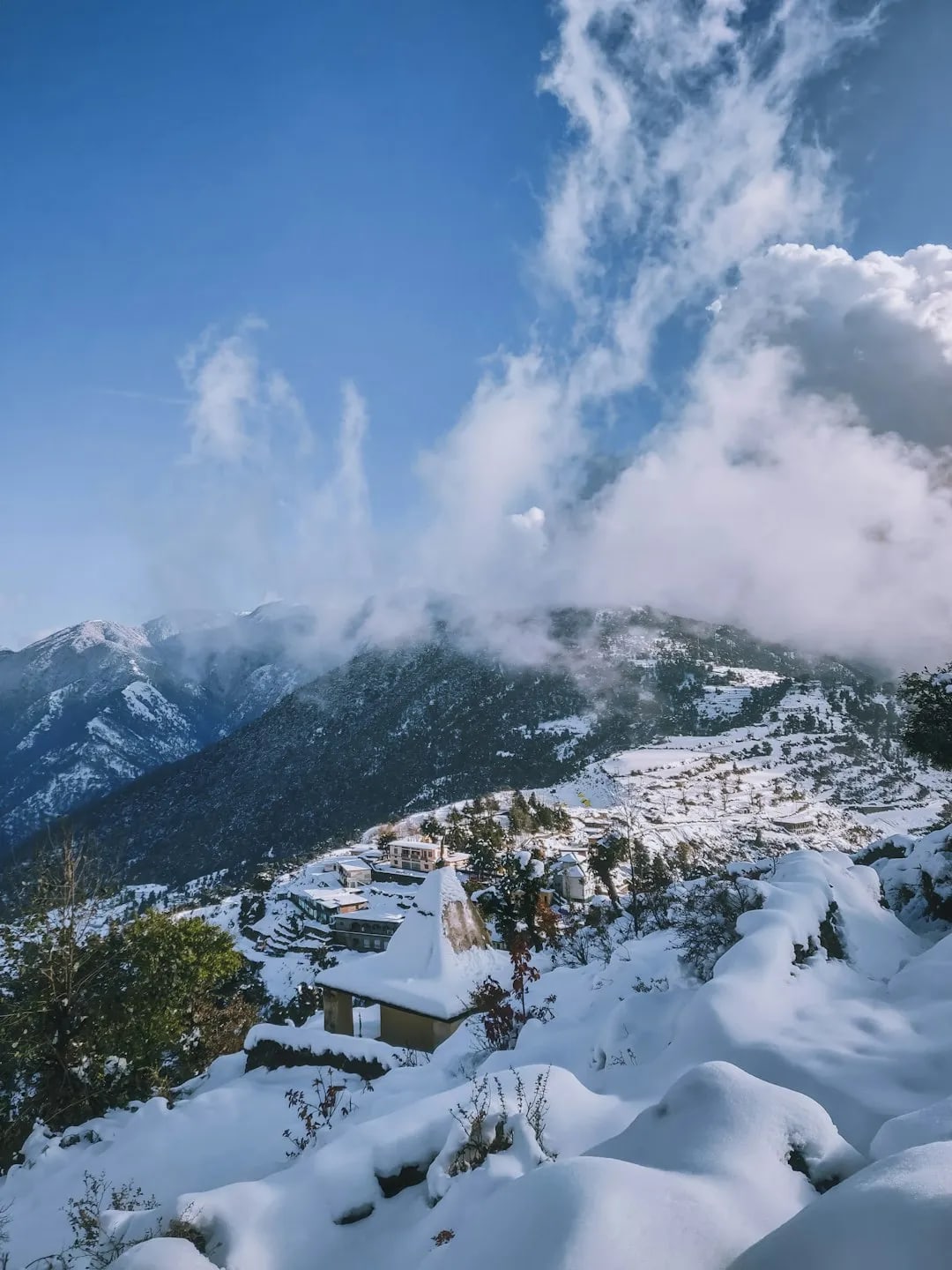
Khaliya Top, above Munsiyari at around 3,500 m, is a high alpine meadow (bugyal) reached by a popular short trek, offering sweeping 360-degree views of Panchachuli and other Himalayan peaks. It is a rewarding day trek and a snow destination in winter.
Getting there
How to Reach Khaliya Top
Reached by road to Balati Farm then a trek; or a longer trek from Munsiyari.
Gallery
Photos of Khaliya Top
Location
Find it on the Map
Interactive map powered by OpenStreetMap.
Plan your day
Nearby Attractions to Combine with Your Visit
More places in Munsiyari to see on the same trip, nearest first.
 ≈ 4.6 km
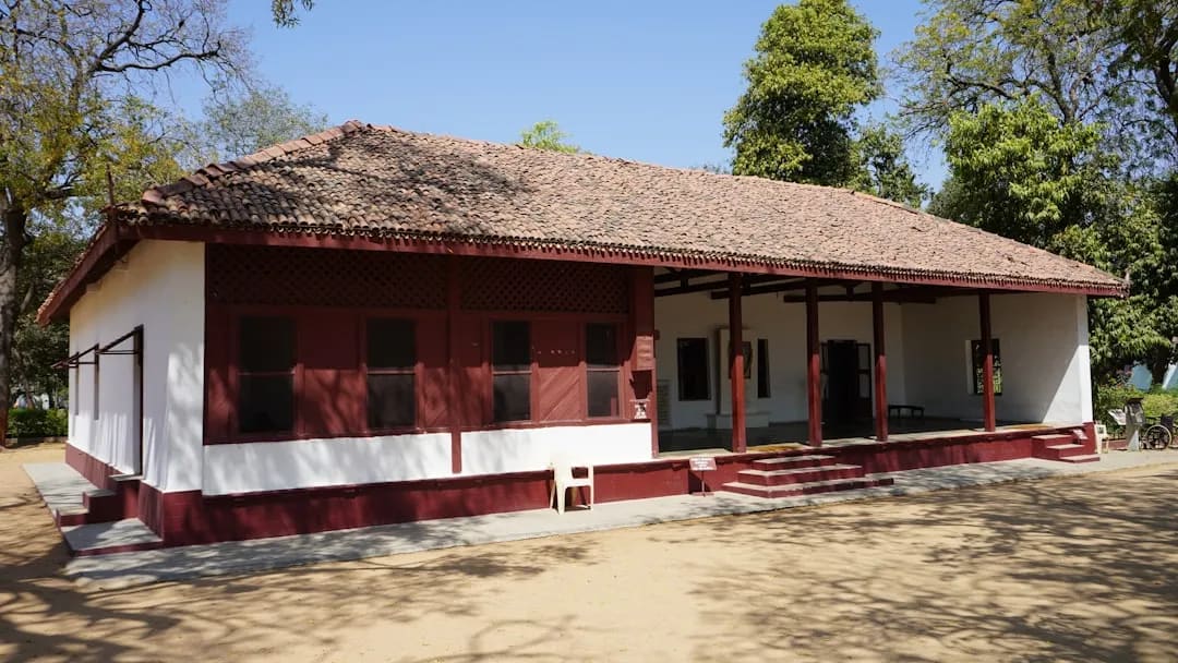
Tribal Heritage Museum
Museum documenting the Bhotiya (Shauka) tribal culture and Johar Valley trade.
4.6 km awayView details →
 ≈ 4.8 km
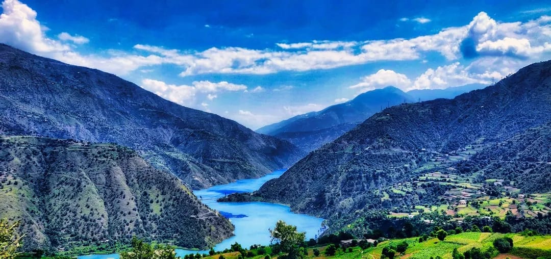
Panchachuli Peak Viewpoint
Front-row views of the five snow-capped Panchachuli peaks.
4.8 km awayView details →
 ≈ 5.3 km
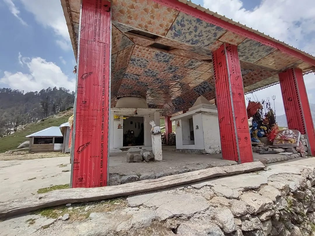
Nanda Devi Temple (Munsiyari)
Ridge-top temple reached by a short trek, with Panchachuli views.
5.3 km awayView details →
YS
≈ 5.8 km
Maheshwari Kund
Small hill lake wrapped in local legend, with peak views.
5.8 km awayView details →
 ≈ 12 km
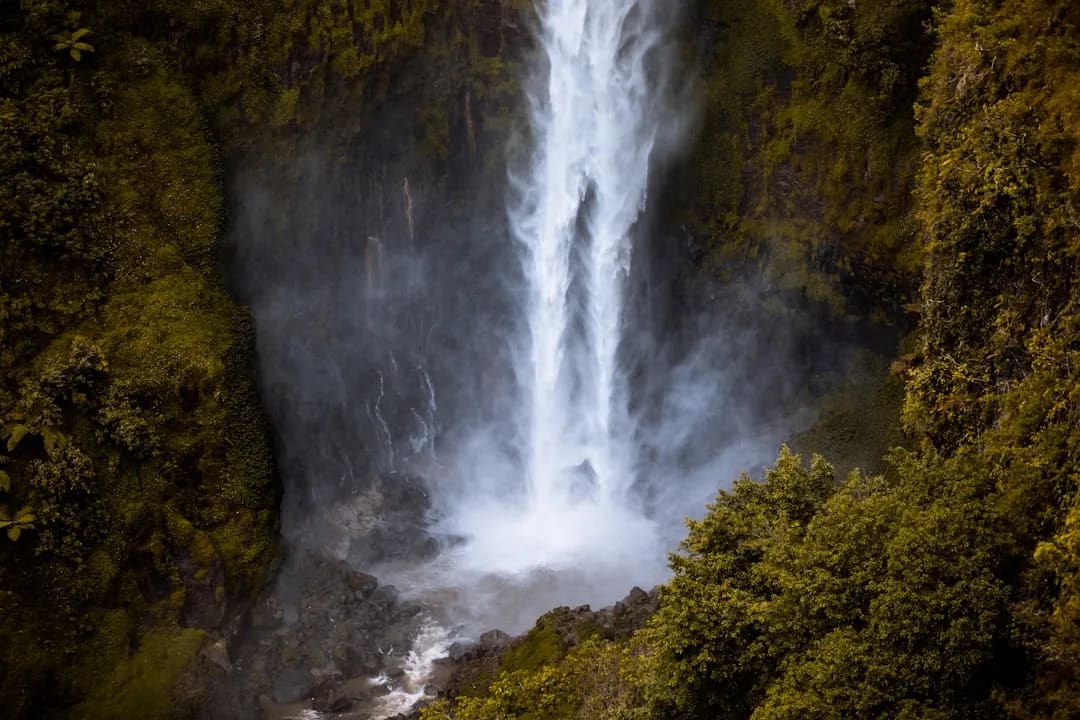
Birthi Falls
High waterfall on the approach to Munsiyari, a scenic roadside stop.
12 km awayView details →
≈ Straight-line distance from Khaliya Top. The road route is usually longer.
See all places to visit in Munsiyari →