Plan your visit
At a Glance: Essential Visitor Information
TimingsRopeway operates daytime hours
Entry feeRopeway ticket charged
Best time to visitApril to June and September to November
From city centreAbout 1 km (from Mall Road)
LocationMussoorie, Uttarakhand
Know before you go
About Gun Hill
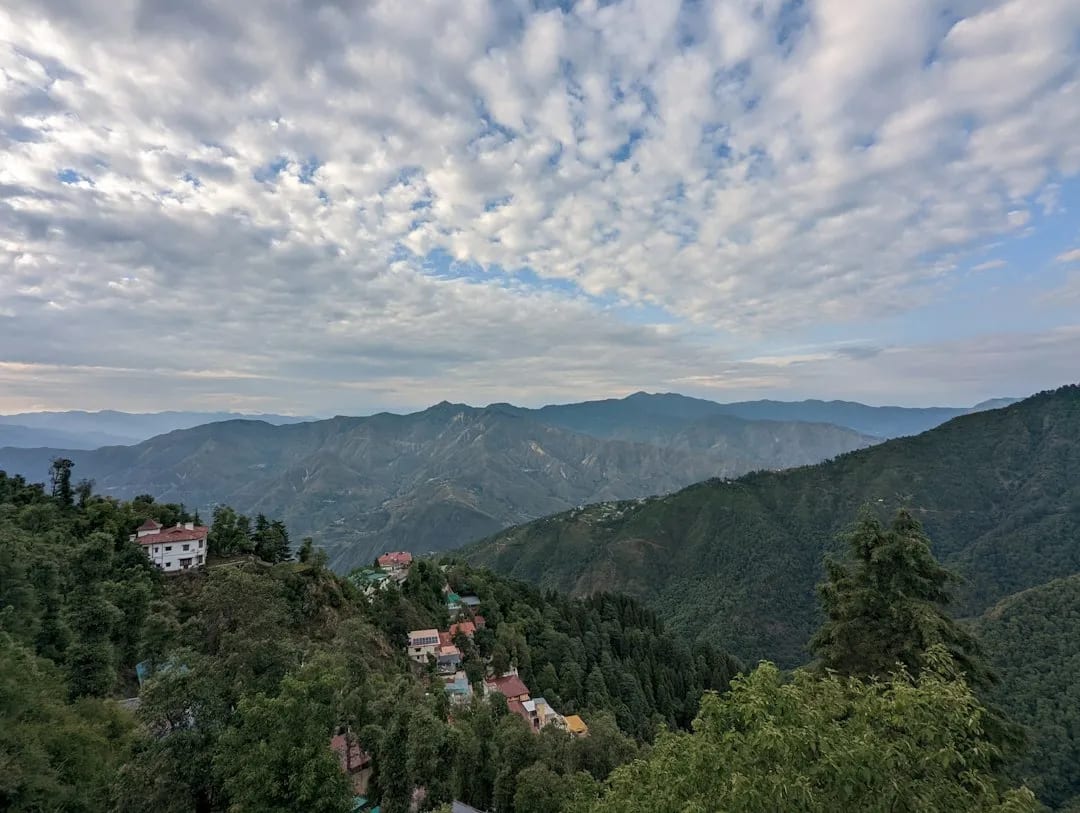
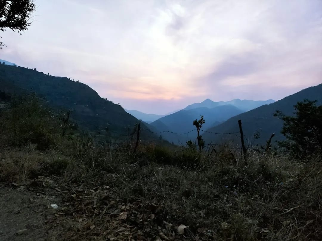
Gun Hill is the second-highest point in Mussoorie, offering panoramic views of the Doon Valley and the Himalayan peaks on a clear day. It is reached by a short ropeway (cable car) from Mall Road, or on foot. The name recalls a British-era gun that was once fired from the hill to mark midday.
Getting there
How to Reach Gun Hill
Take the ropeway from Mall Road, or walk up via the bridle path.
Gallery
Photos of Gun Hill
Location
Find it on the Map
Interactive map powered by OpenStreetMap.
Plan your day
Nearby Attractions to Combine with Your Visit
More places in Mussoorie to see on the same trip, nearest first.
 ≈ 1.2 km
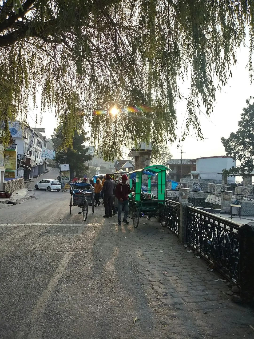
Camel's Back Road
Scenic level walking road named for a camel-shaped rock, ideal for sunset strolls.
1.2 km awayView details →
 ≈ 1.2 km
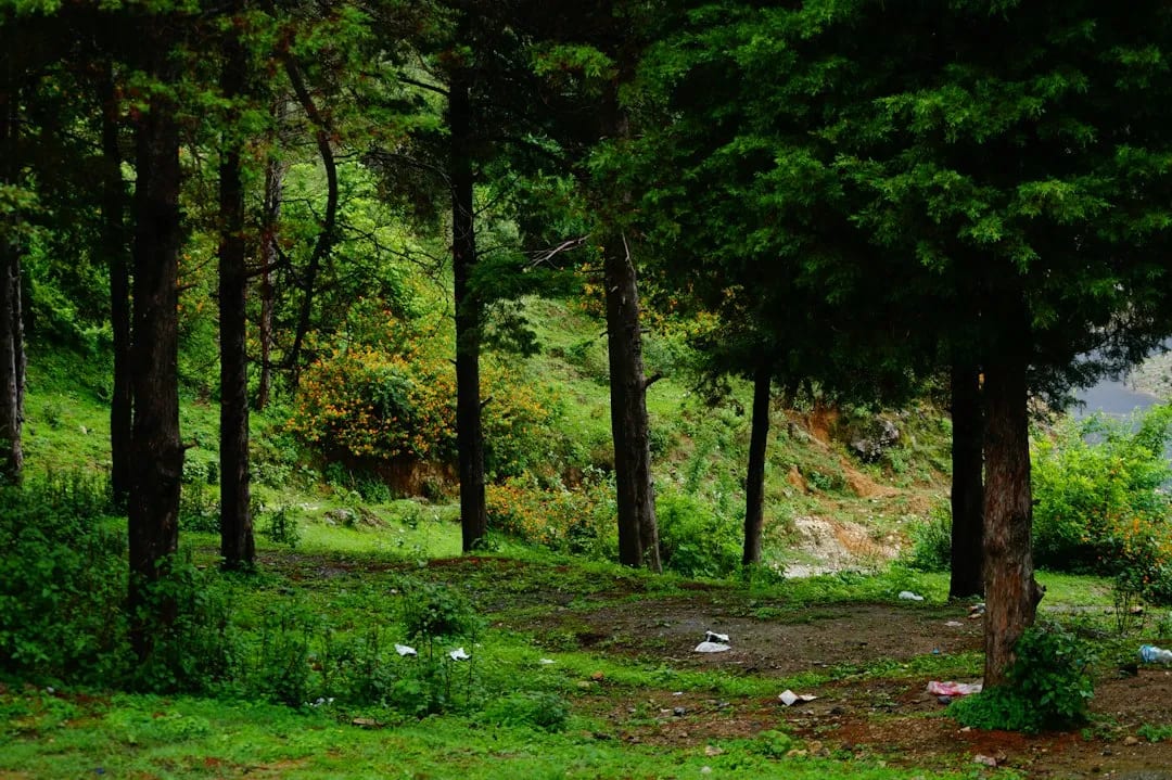
Company Garden
Popular landscaped municipal garden with flowerbeds, a small lake and boating.
1.2 km awayView details →
 ≈ 3.7 km
Lal Tibba
The highest point in Mussoorie, offering the widest Himalayan panoramas.
3.7 km awayView details →
 ≈ 4.1 km
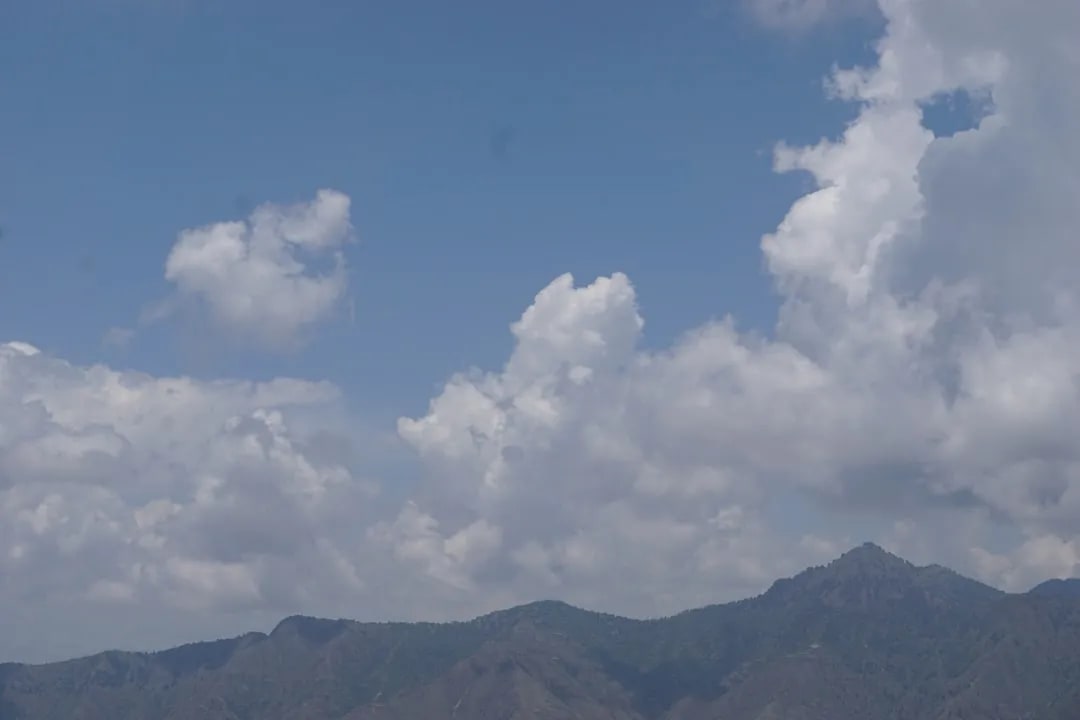
Cloud's End
Scenic point at the western edge of Mussoorie, surrounded by forest and valley views.
4.1 km awayView details →
 ≈ 4.6 km
Kempty Falls
Mussoorie's best-known waterfall and a popular picnic and bathing spot.
4.6 km awayView details →
≈ Straight-line distance from Gun Hill. The road route is usually longer.
See all places to visit in Mussoorie →