Plan your visit
At a Glance: Essential Visitor Information
TimingsDaytime (subject to seasonal closure)
Entry feeEntry ticket charged
Best time to visitSeptember to November and January to March (closed part of the year)
From city centreAbout 12–15 km
LocationMunnar, Kerala
Know before you go
About Eravikulam National Park
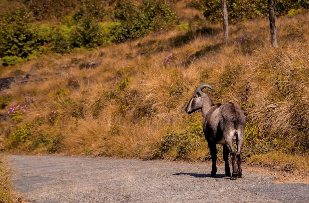
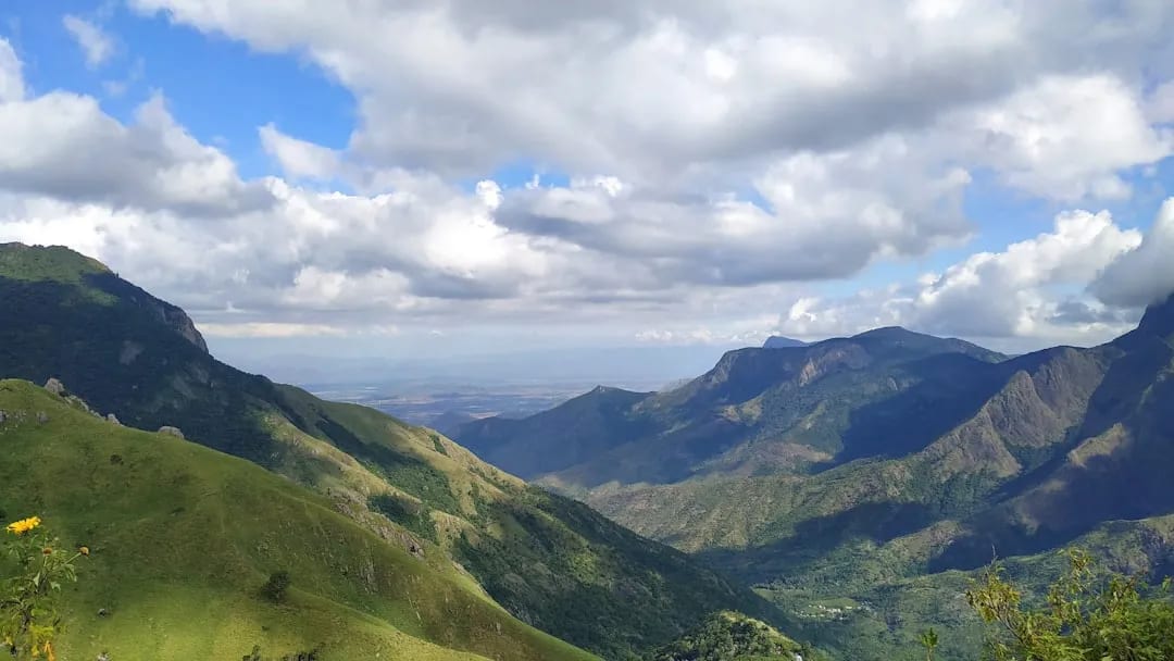
Eravikulam National Park, on the slopes of Anamudi (South India's highest peak), protects the largest surviving population of the endangered Nilgiri tahr amid rolling shola-grassland. Visitors are taken by park bus to the Rajamalai section for walking trails and wildlife viewing. The park periodically closes during the calving season and for the rare mass flowering of the Neelakurinji; check status before visiting.
Getting there
How to Reach Eravikulam National Park
Roughly 13 km from Munnar to the Rajamalai entrance; taxis available. Onward access is by park bus only.
Gallery
Photos of Eravikulam National Park
Location
Find it on the Map
Interactive map powered by OpenStreetMap.
Plan your day
Nearby Attractions to Combine with Your Visit
More places in Munnar to see on the same trip, nearest first.
 ≈ 12 km
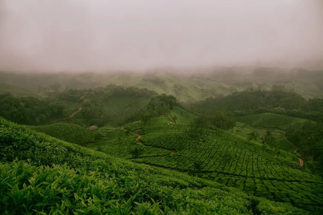
Tea Gardens & Tata Tea Museum
Rolling tea plantations and a museum tracing Munnar's tea-growing heritage.
12 km awayView details →
 ≈ 13 km
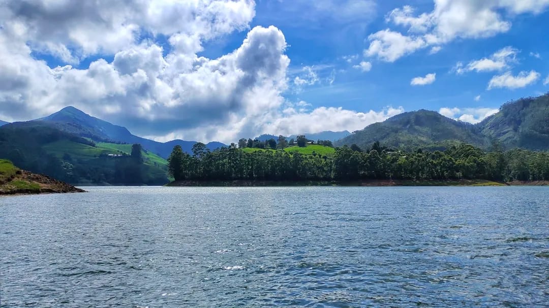
Mattupetty Dam
Scenic reservoir near Munnar popular for boating and lakeside views.
13 km awayView details →
 ≈ 15 km
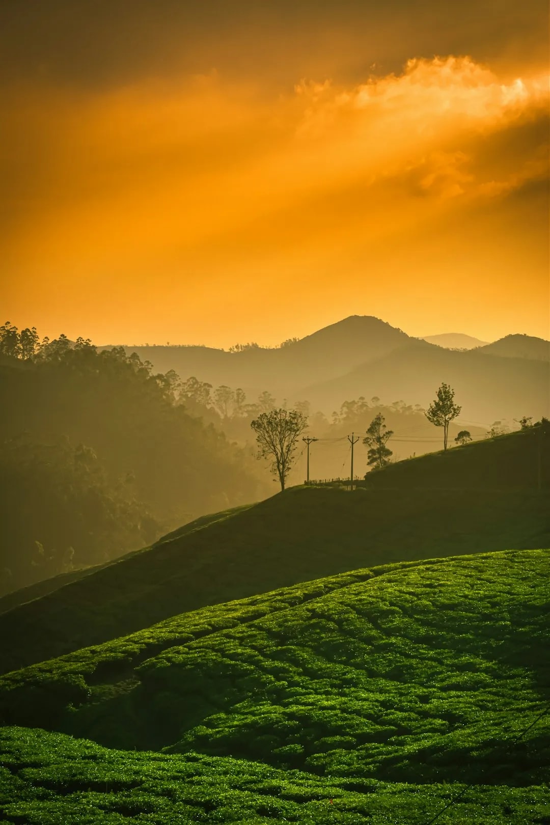
Echo Point
Lakeside viewpoint famed for its natural echo, amid tea-covered hills.
15 km awayView details →
YS
≈ 18 km
Kundala Lake
Picturesque dam-lake surrounded by hills, known for boating and seasonal blooms.
18 km awayView details →
 ≈ 22 km
Top Station
High viewpoint on the Kerala–Tamil Nadu border with sweeping valley vistas.
22 km awayView details →
≈ Straight-line distance from Eravikulam National Park. The road route is usually longer.
See all places to visit in Munnar →